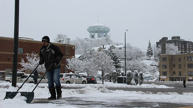
Special weather statement in effect for Greater Sudbury and vicinity.
A low pressure system developing over southern Alberta will head east and track across Northern Ontario Saturday. This system will be bringing a surge of warmer air to the region, resulting in a wintery mix of precipitation for Northern Ontario.
Tonight will be mainly cloudy with a 60-per-cent chance of flurries overnight. The temperature is predicted to rise to -8 C by morning.
Saturday will see two to four cm of snow, with a risk of freezing rain late in the afternoon and evening. The high will be 2 C, rising to 3 C overnight.
Poor winter travelling conditions are expected across Northern Ontario for Saturday. Motorists are urged to exercise caution as untreated surfaces may become snow covered and/or slippery.
Sunday will be cloudy with a 60-per-cent chance of drizzle. The high will be 5 C.
For current weather conditions, short-term and long-term forecasts visit Northern Life's weather page at www.northernlife.ca/weather
Join Sudbury.com+
- Messages
- Post a Listing
- Your Listings
- Your Profile
- Your Subscriptions
- Your Likes
- Your Business
- Support Local News
- Payment History
Sudbury.com+ members
Already a +member?
Not a +member?
Sign up for a Sudbury.com+ account for instant access to upcoming contests, local offers, auctions and so much more.