A low pressure system from Alberta is currently over the Dakotas and will track across Northern Ontario all of Saturday. A southerly flow ahead of this system will bring a surge of milder air to the region resulting in a wintery mix of precipitation for Northern Ontario.
Following intermittent light snow today, expect more snow tonight, with snowfall amounts of up to five cm possible before temperatures rise above the freezing mark. The mercury will rise to about 4 C, and expect it to be about 2 C on Sunday morning. Temperatures will drop Sunday to about -7 C.
“Snow could become mixed with ice pellets or freezing rain before ending or changing to light rain,” the weather forecaster said in a release.
“On Sunday, patchy light rain or drizzle is forecast to change to flurries as a cold front passes and temperatures drop below zero. If surfaces are wet as the freezing occurs, very icy conditions may develop.”
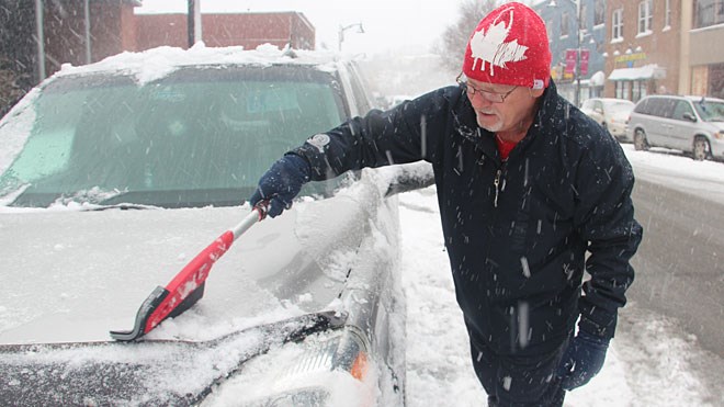
Poor winter travelling conditions are expected across Northern Ontario. Drivers are urged to exercise caution as untreated surfaces may become snow covered and/or slippery.
“Environment Canada meteorologists are watching the evolution of this system closely and will issue further statements or alerts as required,” the release said.
Join Sudbury.com+
- Messages
- Post a Listing
- Your Listings
- Your Profile
- Your Subscriptions
- Your Likes
- Your Business
- Support Local News
- Payment History
Sudbury.com+ members
Already a +member?
Not a +member?
Sign up for a Sudbury.com+ account for instant access to upcoming contests, local offers, auctions and so much more.